Atlanta Speedway
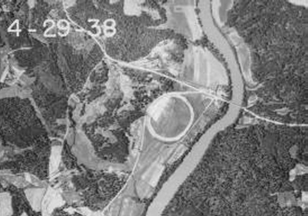
The Atlanta Speedway was a half mile, high banked dirt track built at Paces Ferry and the Chattahoochee River in Atlanta in 1929.
According to reports in an Atlanta paper from the time, the speedway opened on Nov. 9, 1929, and was said to have had 35 degrees of banking. Note the circular shape, similar to that of Langhorne, Pennsylvania, which opened in 1926. It’s unclear exactly who owned the track, as it was simply billed as a “AAA track”.
The purpose of the track was to give the AAA “big cars” a place to show they could compete in Atlanta. At the time, the IMCA had control of nearby Lakewood Speedway, and this track allowed the AAA a chance to horn in on the action.
The track operated in 1929, 1930 and may have had some events in 1931. Atlanta Speedway competed on the same day against the IMCA events at Lakewood. Both claimed capacity crowds at their respective events.
After the AAA gained access to Lakewood to hold their events, the Atlanta Speedway was abandoned. It sat for several years before a gated community was built on the site.
No photos are known to exist of action on the track, other than a scant few newspaper clippings. If you can help us to locate photos of the Atlanta Speedway, please Email us.
Here’s a look at the track from surveyor’s aerial photos over the years:
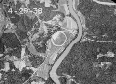
1938
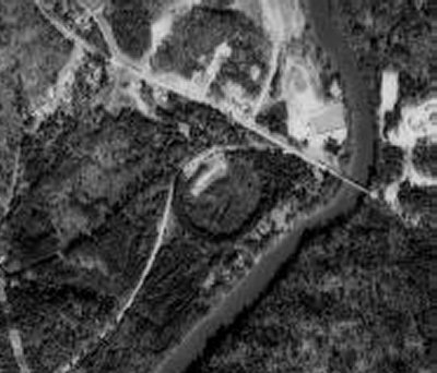
1960
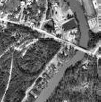
1972
And here’s what the site looks like today:
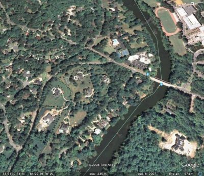
In May of 2008, Georgia racing history enthusiast Mark Pullen decided to hop on his motorcycle and head out to the neighborhood that is built on top of the old Atlanta Speedway. Here’s what he posted about his trip:
“I went by and took a look, and if you know the track was there you can see the banking in places. Unfortunately for me it’s now a small gated community of houses, and decent photography is difficult. There are some things that can be determined though, one being that the track and bankings were built up from the original surface rather than being dug in or half and half. The whole area is rather flat, and in the oldest photographs you can see that the entire area along the river there was farmland.”
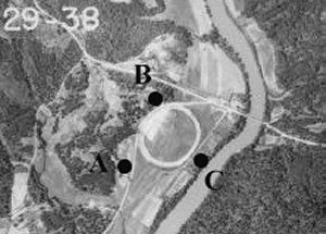
“I’ve included the 1938 Aerial shot as a point of reference.”
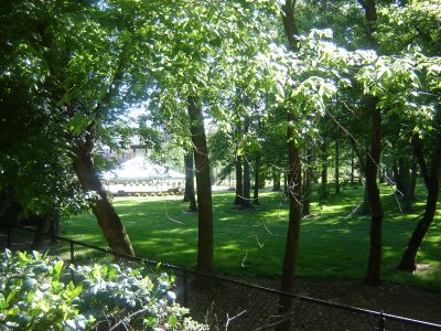
“The first shot is taken from point A. You can see small bits of the old banking , but most of it is gone. The area in this photo is outside of the track, but the house behind the large canopy just left of center is built on top of the banking.”
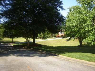
“The second shot is from point B. It doesn’t show the reason why I couldn’t get in, but the photo was taken through a large and locked gate. The entire banking in that immediate area is gone, although again a house to the left is up on top of a portion of the remaining banking which is visible just beginning to rise.”
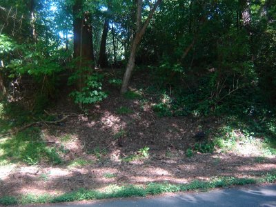
“The third and fourth shots are from point C. First is from the straight street just below the track on the southeast side, right at the point where the track was closest to the street.”
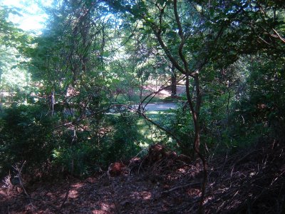
“A slick climb up the hill gave me this foreshortened view down the banking. Growth and areas where the banking had been destroyed over time make getting any sort of meaningful photograph difficult, but you CAN see it.”
“From what I can see, the banking was no more than about 8 feet in height. Assuming that they were accurate in reporting a track width of 40 feet, that would make for approximately a 12 degree banking. Certainly it wasn’t 35. I wonder if any of these people have any idea what was under their houses.”
Special thanks to Mark Pullen and Henry Jones for their contributions to this page.
Questions, comments, suggestions? Email us!
This website is not affiliated with or endorsed by the Georgia Racing Hall of Fame or the Georgia Auto Racing Hall of Fame Association, Inc. All content is the intellectual property of the individual authors. All opinions are those of the individual authors. Please do not repost images or text without permission.
